What we are hearing right now.
A microphone set up at the camp listens day and night and recognizes songs on the spot. Here are the latest species identified, named in English and, when we know it, in Innu-aimun. The ▶ button plays the best clip of the day.
What is an episode?
BirdNET cuts the sound into three-second windows that overlap by half, so that every moment is analyzed twice. A bird calling for a minute therefore leaves dozens of “detections”. We group them into episodes (calls of the same species less than two minutes apart count as one).
Reading the station…
Measured on site, every five minutes.
Reading the weather station…
Wind
Gusts
Humidity
Pressure
Calculating…
Where does this forecast come from?
It comes from no numerical model. It is drawn solely from the station’s own measurements, using the Zambretti method, devised in the early twentieth century to accompany barometers. The method takes into account the pressure reduced to sea level (the station stands at an altitude of 311 m), its trend over the last three hours and the direction of the wind. Falling pressure generally heralds an approaching low. Rising pressure tends to signal the return of fair weather. Designed for the British Isles, the method remains indicative at the 56th parallel and covers only the next 6 to 12 hours. For the days beyond, the Weather page presents forecasts from a numerical model.
A land that tells its story in two languages, to the rhythm of the caribou and the wind.
Mushuau-nipi is a country that has been lived in, travelled and named for generations. This window follows its natural world from one season to the next.
Seven thousand years of history, in brief
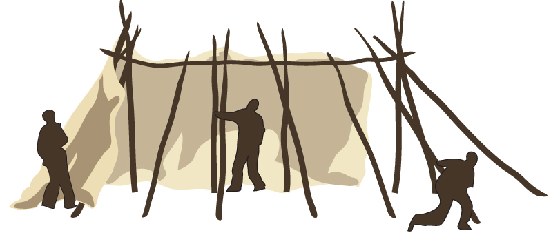
The lake was freed from the ice some nine and a half thousand years ago. People have been coming to its shores for at least seven thousand years and to the Ungava Peninsula for eight thousand. They came for the caribou, which most often crossed the river at the same narrows, funnelled by a long tongue of sand left behind by a glacier. People gathered here, hunted here and traded here. Innu, Naskapi, Inuit and Cree crossed paths on these shores long before anyone thought of mapping the land.
Then came the trading posts, the explorers, a weather station born of the Second World War and the silence of the years when no one lived on the river any more. Pierre Perrault filmed here and Louis-Edmond Hamelin wrote about it. Since 2005, the Corporation du Mushuau-nipi has been reviving the place’s first calling, which is to bring people together.
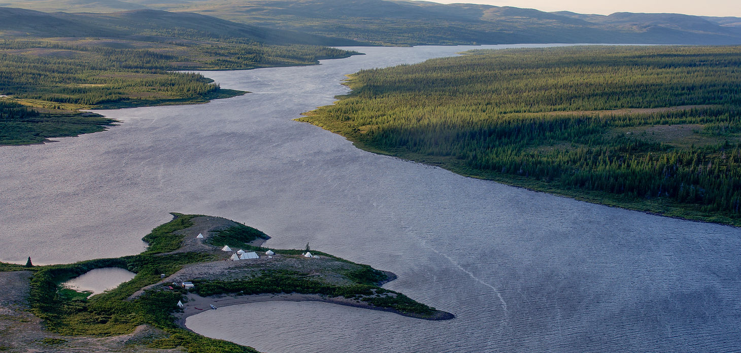
A gathering place on the George River.
Set on a point of land where the tundra meets the forest, the camp has always welcomed those who come to learn from the land.
Why here rather than anywhere else? Geography provides a good part of the answer.
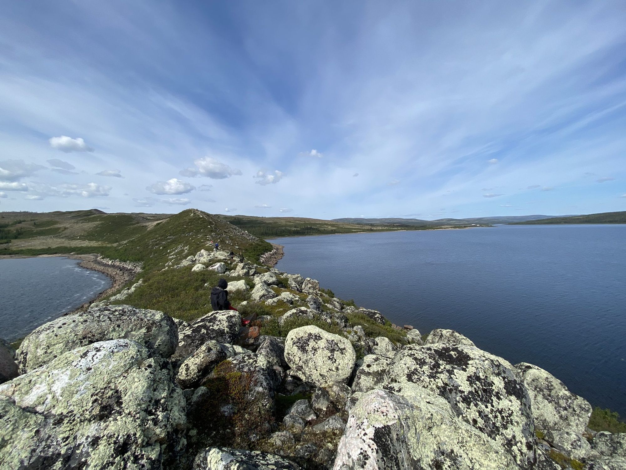
A lake in the tundra, at the end of the caribou routes.
Mushuau-nipi is a widening of the George River, in the heart of the subarctic tundra of Nunavik. Its Innu name speaks of the land without trees, where the boreal forest gives way to lichen, stone and an immense sky.
The map gives a sense of the distances.
Some 220 kilometres from Schefferville.
The camp lies where the George River crosses the tundra on its way to Ungava Bay. Drag the map and zoom out a little to better grasp how far it is from everything.
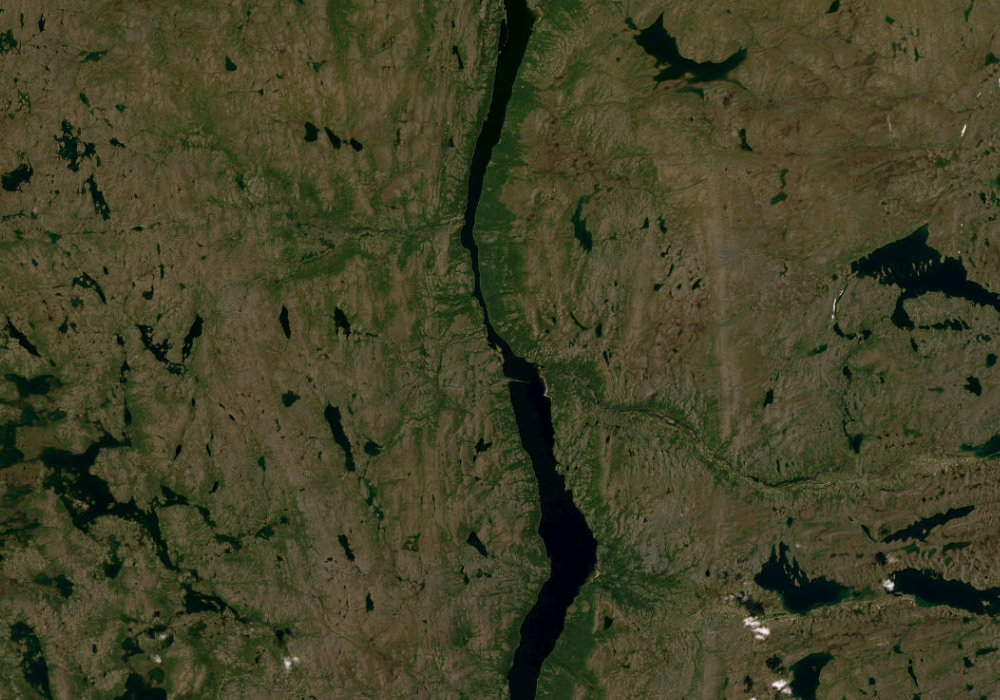 Mushuau-nipi · 56.40° N · 64.76° W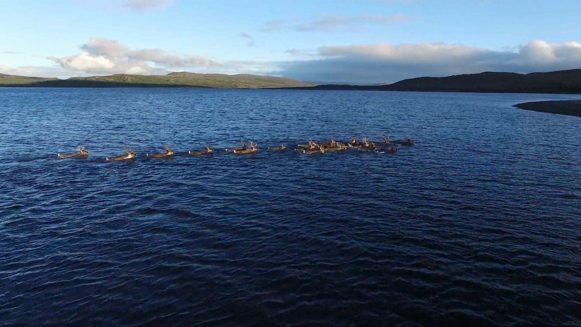
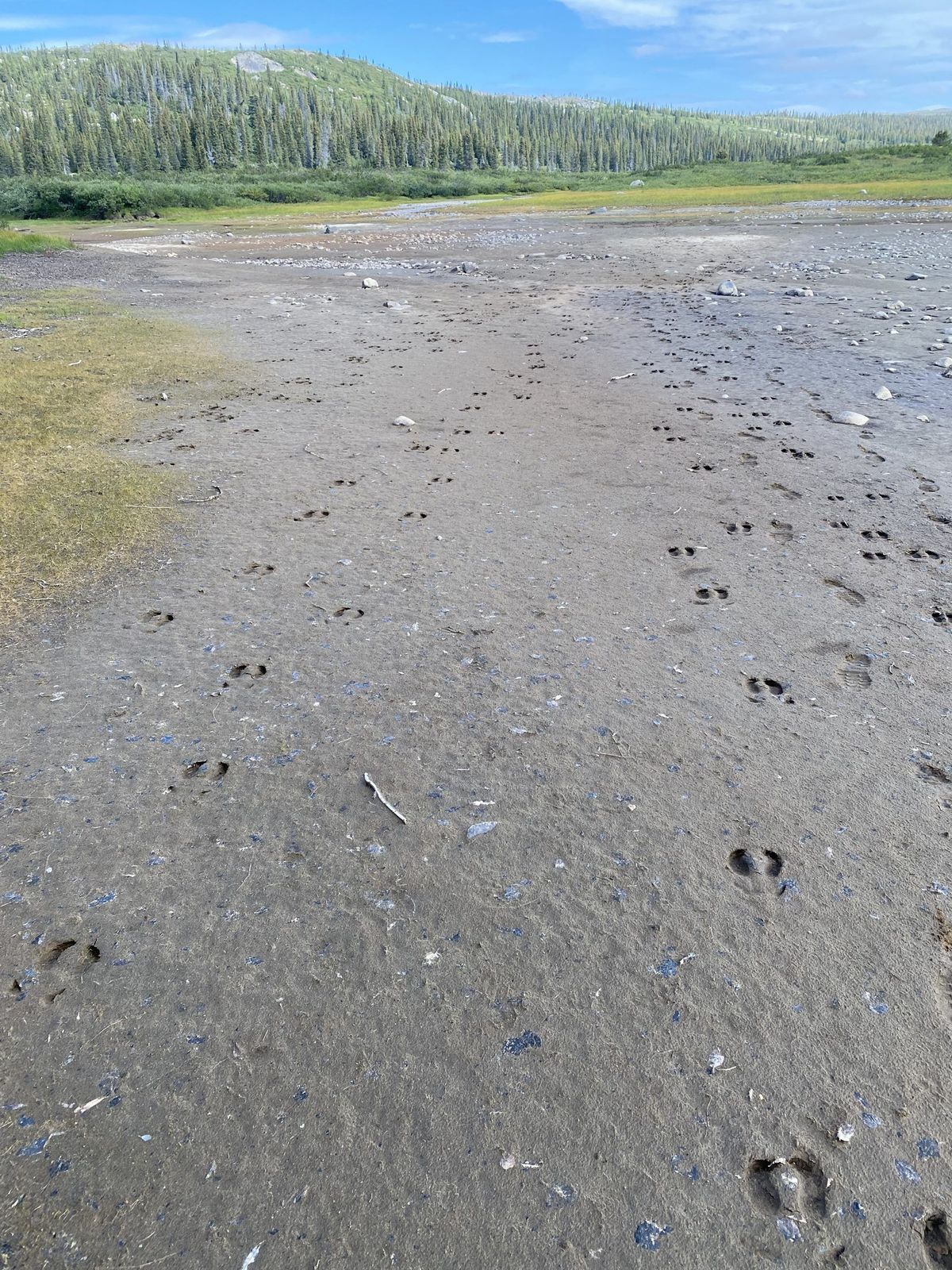
The land moves with the caribou.
If people have come to this place for thousands of years, so far from any road, it is first of all because of the caribou. For millennia, the George River herd traced paths across the tundra that Innu families followed in their turn. Mushuau-nipi is one of the great crossroads of these migrations.
For a long time, this was a place for counting caribou. Since August 2026, it has also been a place for listening to birds.
The evening sky and the northern lights.
When the sun goes down, the land changes scale. At this latitude, summer nights never grow completely dark. The rest of the year, the sky opens up beneath the auroral oval.
Above the tundra
From dusk to dawn
Northern lights
Sky calculated for 56.40° N, 64.76° W. Drag to explore, scroll to zoom.
A living window on Mushuau-nipi.
An autonomous listening station was installed at the camp in August 2026. Here is how it works so far from everything and what you need to know to read what it reports.
A Clippy EM272 capsule, chosen for its very low self-noise, connected to a Raspberry Pi 5. The microphone sits outdoors, protected by a windscreen. The computer stays indoors at the camp.
The BirdNET model from the Cornell Lab of Ornithology, running on site. Each fifteen-second slice is analyzed in nine three-second windows that overlap by half, which gives a brief song more than one chance of being well framed.
The station keeps listening offline and holds its observations in memory. As soon as the satellite link returns, even after several days, it catches up on everything that has piled up.
It restarts by itself when the power comes back and relaunches on its own if it freezes.
For each species, a single six-second clip is published per day, the one the model is most confident about. A filter automatically discards any segment in which it recognizes a human voice, along with the neighbouring segments.
An automatic model is sometimes wrong, especially with rare species or those outside their usual range. Unusual detections are therefore checked by ear at regular intervals, then confirmed or removed. Between two checks, a surprising detection calls for a little caution (the Birds page flags those still awaiting validation).
The data belong to the Corporation du Mushuau-nipi. Station and website built on a volunteer basis by En mode solutions. For any question about the setup, or to discuss sharing the data, write to Jean-Sébastien Bouchard: jsb@mushuau-nipi.com.
Discover the Corporation du Mushuau-nipi →